A Groundwater Modeling Framework for Elucidating Community Exposures Across the Marcellus Region to Contamination Associated with Oil and Gas Development

James E. Saiers
Professor
Yale University
Reed M. Maxwell
Professor
Princeton University
Joshua Warren
Associate Professor
Yale University
Mario Soriano
Postdoctoral Researcher
Princeton University

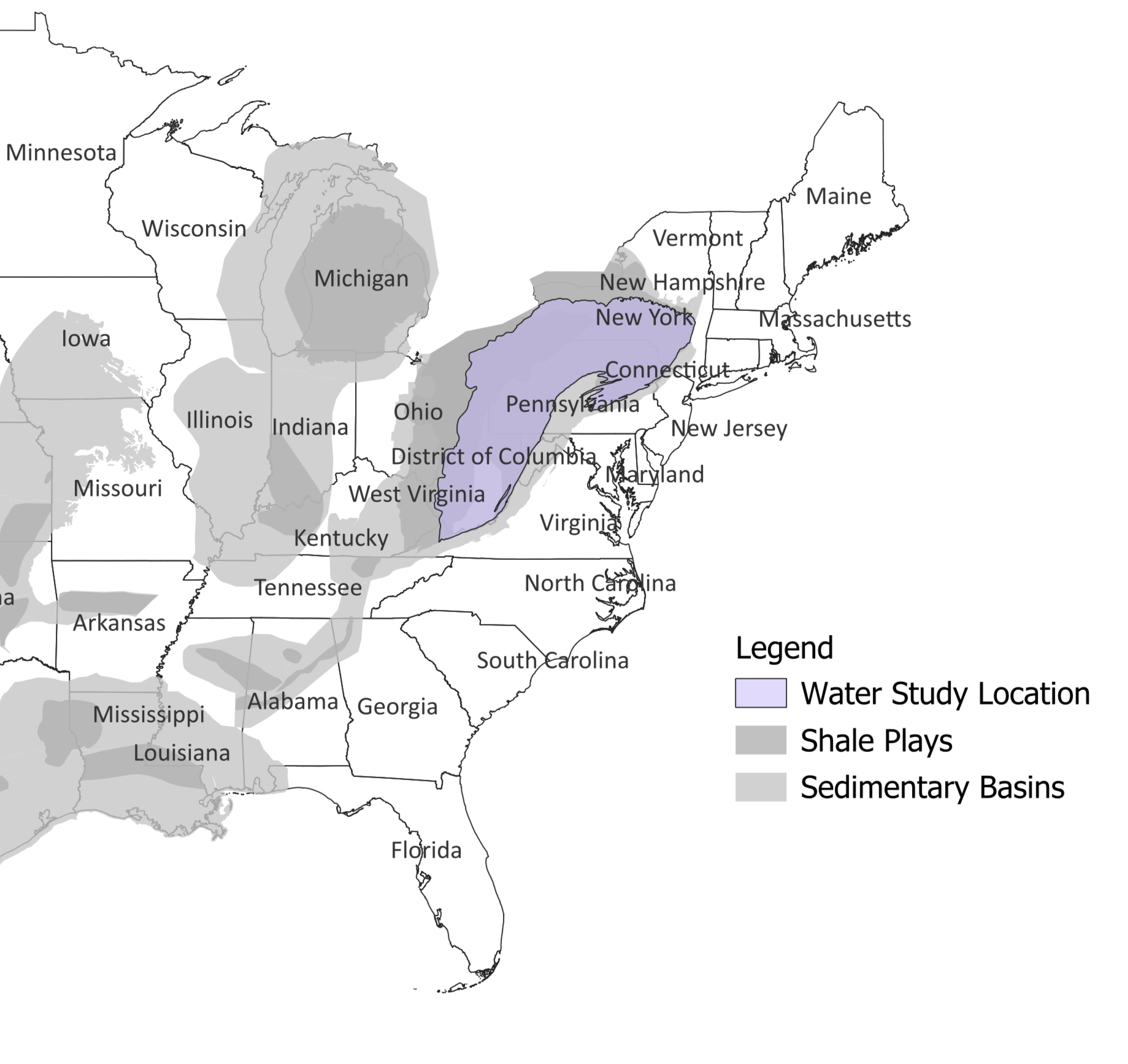
The research team will build and test a model for understanding residential well water vulnerability to contamination from unconventional oil and gas development (UOGD) across the Marcellus region. This analysis will increase the understanding of risk to groundwater quality using publicly available data describing UOGD spills. The investigators will achieve their goal by:

  1. Modeling residential drinking water well vulnerability to contamination from UOGD sources over time across the Marcellus region. The model will describe how contaminants move in the subsurface.
  2. Using the model to understand the likelihood that specific UOGD spills will contaminate the water in residential wells.
  3. Refining the model and assessing its performance with statistical analyses using the characteristics of documented cases of UOGD spills and known contamination at well locations.


Image
Saires map
James E. Saiers
Professor
Yale University
Reed M. Maxwell
Professor
Princeton University
Joshua Warren
Associate Professor
Yale University
Mario Soriano
Postdoctoral Researcher
Princeton University

Research Team

James E. Saiers
Professor
Yale University
Reed M. Maxwell
Professor
Princeton University
Joshua Warren
Associate Professor
Yale University
Mario Soriano
Postdoctoral Researcher
Princeton University
Image
James Saiers

Project Updates

Saiers Quarterly Update - December 2024

A Groundwater Modeling Framework for Elucidating Community Exposures Across the Marcellus Region to Contamination Associated with Oil and Gas Development

James E. Saiers

The research team will build and test a model for understanding residential well water vulnerability to contamination from unconventional oil and gas development (UOGD) across the Marcellus region. This analysis will increase the understanding of risk to groundwater quality using publicly available data describing UOGD spills. The investigators will achieve their goal by:

  1. Modeling residential drinking water well vulnerability to contamination from UOGD sources over time across the Marcellus region. The model will describe how contaminants move in the subsurface.
  2. Using the model to understand the likelihood that specific UOGD spills will contaminate the water in residential wells.
  3. Refining the model and assessing its performance with statistical analyses using the characteristics of documented cases of UOGD spills and known contamination at well locations.


What's Happened

  • Acquired data on spills associated with unconventional oil and gas development (UOGD) from state agencies.
  • Cleaned the data, extracted essential information on spills, and integrated the geolocated observations into GIS.
  • Analyzed published data on well water quality in Ohio, Pennsylvania, and West Virginia to identify potential chemical signatures of wastewater releases from UOGD.
  • Acquired, processed, and combined hydrogeologic data to support calibration of a regional-scale groundwater flow model that will be used as a basis for well-water vulnerability estimates. 
  • Team member, Dr. Mario Soriano, presented “A groundwater modeling framework for elucidating drinking-water vulnerability to contamination by wastewater spills from oil and gas development” at GSA Connects Conference in Anaheim, CA. 
  • Team Principal Investigator, Dr. James Saiers, presented a Nelson Seminar at Syracuse University titled “Natural and anthropogenic processes affecting drinking-water quality within rural communities of the Appalachian Basin.”

What's New

  • Running hydrologic models across the study region, accounting for possible factors that may influence model calibration and the flow and transport simulations. 
  • Developing maps that show vulnerability to groundwater contamination using multiple particle tracking simulations with different set ups (see Figure ). 
  • Linking data on spill locations and timing with well impairments across the study area. 
  • Running preliminary logistic regression models to determine if the occurrence of a time-relevant spill within a close distance to a well affects the probability of its impairment. 
     
Image
saiers

Figure: Modeled estimates of hydrologic vulnerability to spills from unconventional oil and gas (UOG) development. Vulnerability quantifies the probability that any given location is along a groundwater transport pathway from a specified contaminant source, in this case a UOG well pad. We are evaluating vulnerability for aquifers overlying the Marcellus and Utica-Point Pleasant Shales at a grid scale of 250-meters through a large ensemble of hydrological models and particle tracking simulations. (Maps created by Mario Soriano, November 2024.)

What's Next

  • Combine data on UOGD spills with modeled estimates of vulnerability to create spatially distributed estimates of UOGD-related risks in the Marcellus region.
  • Complete statistical analyses of potential associations between spatially distributed risk estimates and observed incidences of well water contamination. 

Upcoming Events:

The research team will present “Towards a Risk-triage Platform for Assessing Groundwater Contamination from Fossil Fuel Extraction” at the American Geophysical Union Annual Meeting. 

Saiers Quarterly Update - September 2024

A Groundwater Modeling Framework for Elucidating Community Exposures Across the Marcellus Region to Contamination Associated with Oil and Gas Development

James E. Saiers

The research team will build and test a model for understanding residential well water vulnerability to contamination from unconventional oil and gas development (UOGD) across the Marcellus region. This analysis will increase the understanding of risk to groundwater quality using publicly available data describing UOGD spills. The investigators will achieve their goal by:

  1. Modeling residential drinking water well vulnerability to contamination from UOGD sources over time across the Marcellus region. The model will describe how contaminants move in the subsurface.
  2. Using the model to understand the likelihood that specific UOGD spills will contaminate the water in residential wells.
  3. Refining the model and assessing its performance with statistical analyses using the characteristics of documented cases of UOGD spills and known contamination at well locations.


What's Happened

  • Acquired data from Ohio Department of Natural Resources about spills from oil and gas wells.
  • Filed a Freedom of Information Act (FOIA) request with West Virginia to obtain data about spills from oil and gas wells. 
  • Requested and received information from the Pennsylvania Department of Environmental Protection for accessing data about spills from oil and gas wells.  •Collected water quality data from Yale WATER Study. 
  • Presented the rationale for the study and research plan in a poster session at HEI's 2024 Annual Conference.

What's New

  • Processing data received from state agencies on spill locations and characteristics. 
  • Commencing development of a regional-scale groundwater flow model to support estimates of drinking water vulnerability to unconventional oil and gas (UOG) contamination.  
  • Acquiring additional sources of data on well water quality for Pennsylvania.

What's Next

  • Continue expansion of geographic coverage of groundwater flow and particle-tracking model, collect and harmonize data on groundwater levels and discharge, and calibrate the expanded model against these hydrologic observations to enable predictions of drinking water vulnerability across the 220,000 km2 area covering the Marcellus Shale region.  
  • Complete acquisition and database development for UOG spills.
  • Complete acquisition and quality-control checks on groundwater impairment data. 

Upcoming Events:

  • The research team will present a poster titled “A groundwater modeling framework for elucidating drinking-water vulnerability to contamination by wastewater spills from oil and gas development” at the Geological Society of America Connects 2024 Meeting in Anaheim, CA on September 22-27, 2024. 
  • The research team will present another poster titled “Towards a risk-triage platform for assessing potential groundwater contamination from fossil fuel extraction” at the American Geophysical Union Conference in Washington, DC on December 9-13, 2024.
Saiers Quarterly Update - June 2024

A Groundwater Modeling Framework for Elucidating Community Exposures Across the Marcellus Region to Contamination Associated with Oil and Gas Development

James E. Saiers

The research team will build and test a model for understanding residential well water vulnerability to contamination from unconventional oil and gas development (UOGD) across the Marcellus region. This analysis will increase the understanding of risk to groundwater quality using publicly available data describing UOGD spills. The investigators will achieve their goal by:

  1. Modeling residential drinking water well vulnerability to contamination from UOGD sources over time across the Marcellus region. The model will describe how contaminants move in the subsurface.
  2. Using the model to understand the likelihood that specific UOGD spills will contaminate the water in residential wells.
  3. Refining the model and assessing its performance with statistical analyses using the characteristics of documented cases of UOGD spills and known contamination at well locations.


What's Happened

  • Launched the study on April 1, 2024.
  • Presented a scientific research poster at the HEI Annual Conference 2024 in Philadelphia, PA, April 28-30.

What's New

  • Acquiring data on hydrogeologic conditions, drinking water quality, and UOGD well pad locations and spills in the Marcellus Shale region.
  • Commence development of a regional-scale groundwater flow model to support estimates of drinking water vulnerability to UOGD contamination across the Marcellus Shale region.

What's Next

  • Calibrate and test the regional-scale groundwater flow model with data on groundwater levels, land-surface expressions of the water table, and groundwater discharges to streams.
  • Link calibrated groundwater flow model with particle-tracking model to simulate the transport of UOGD fluids away from well pads and analyze transport pathways to quantify vulnerability to drinking water sources.